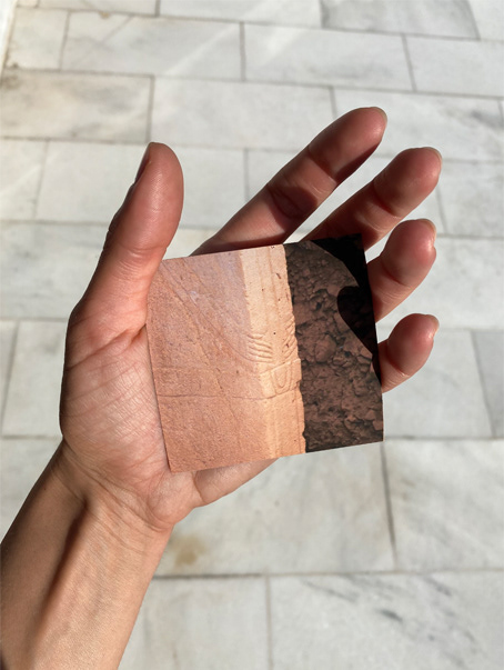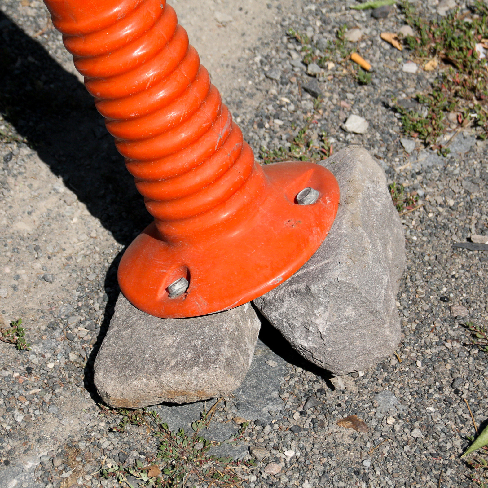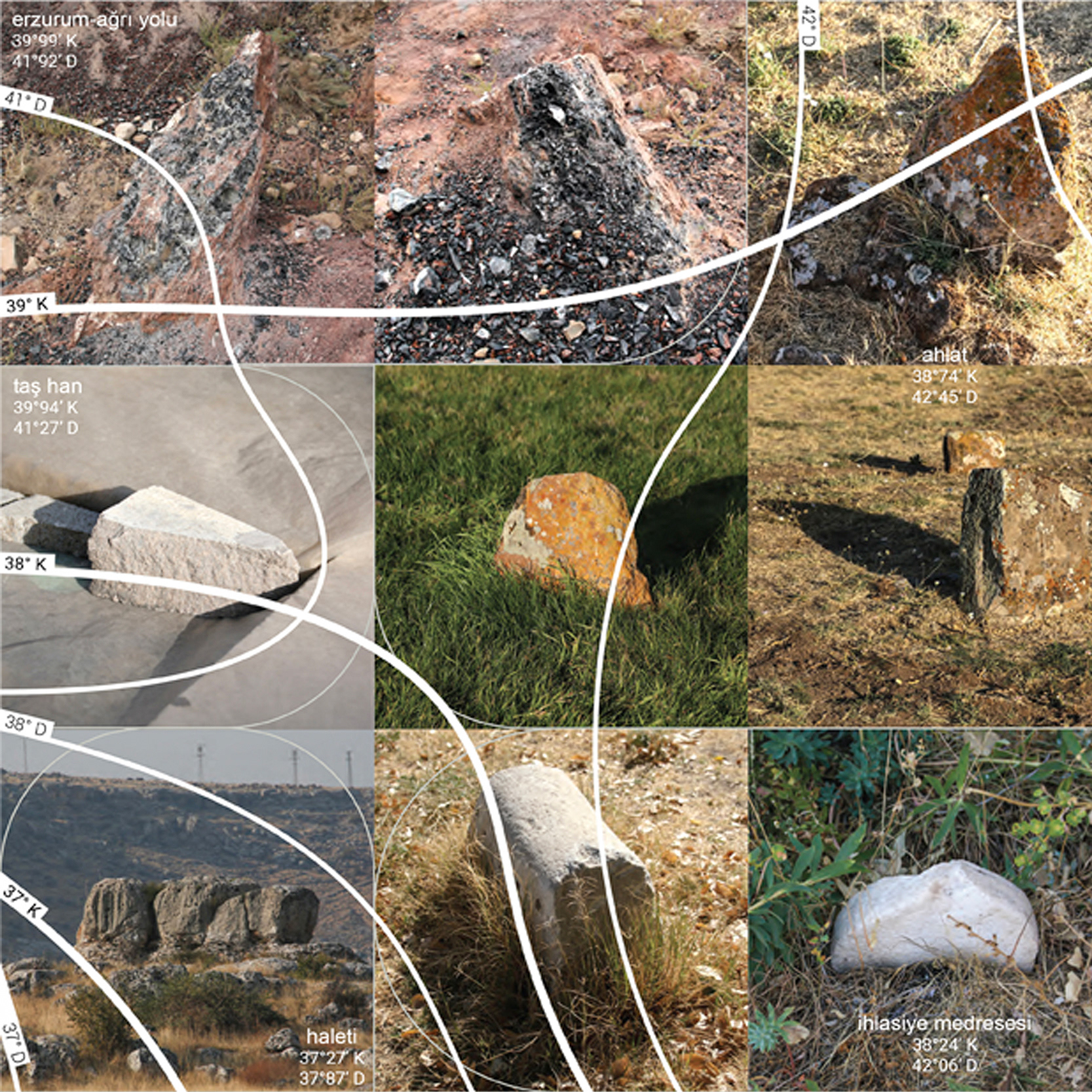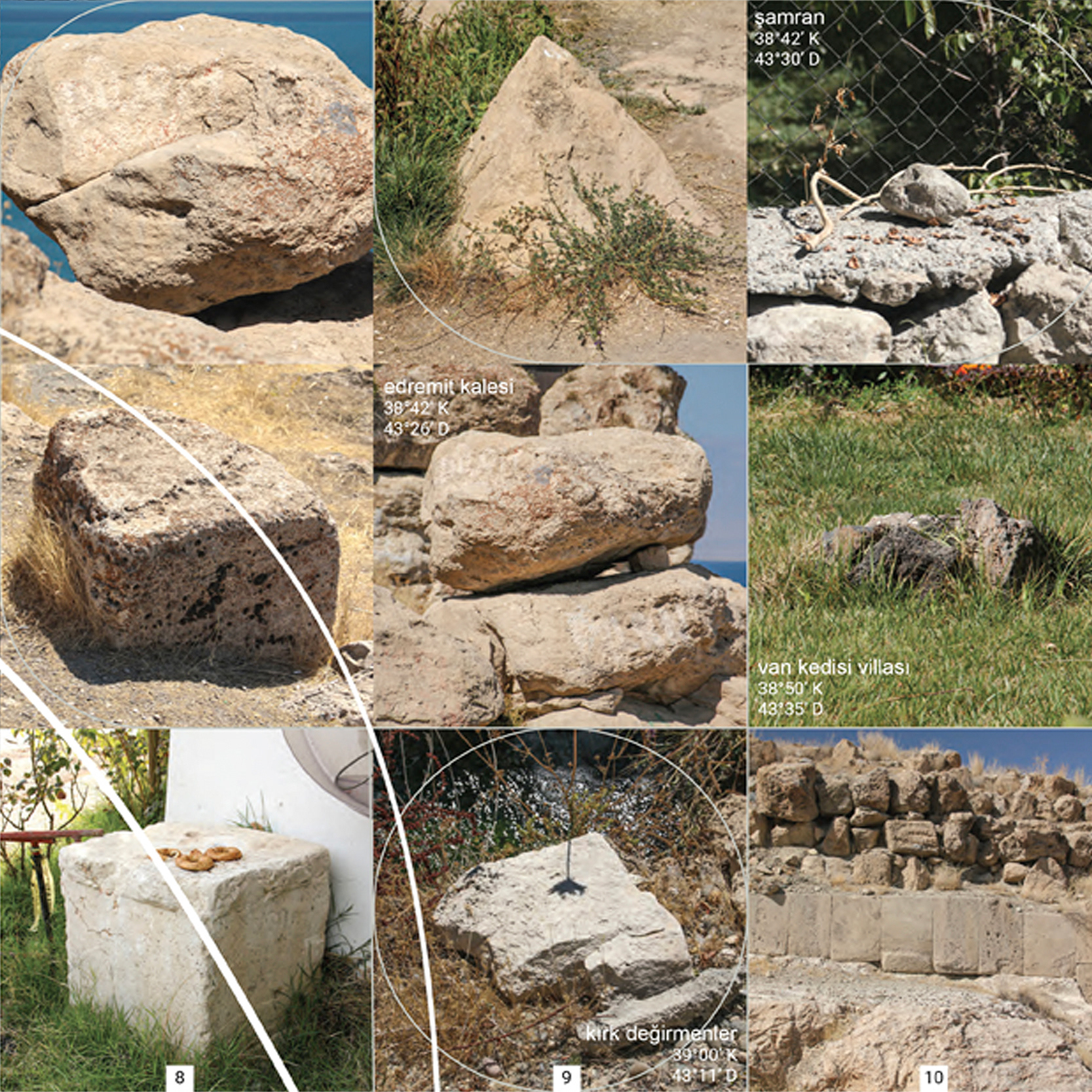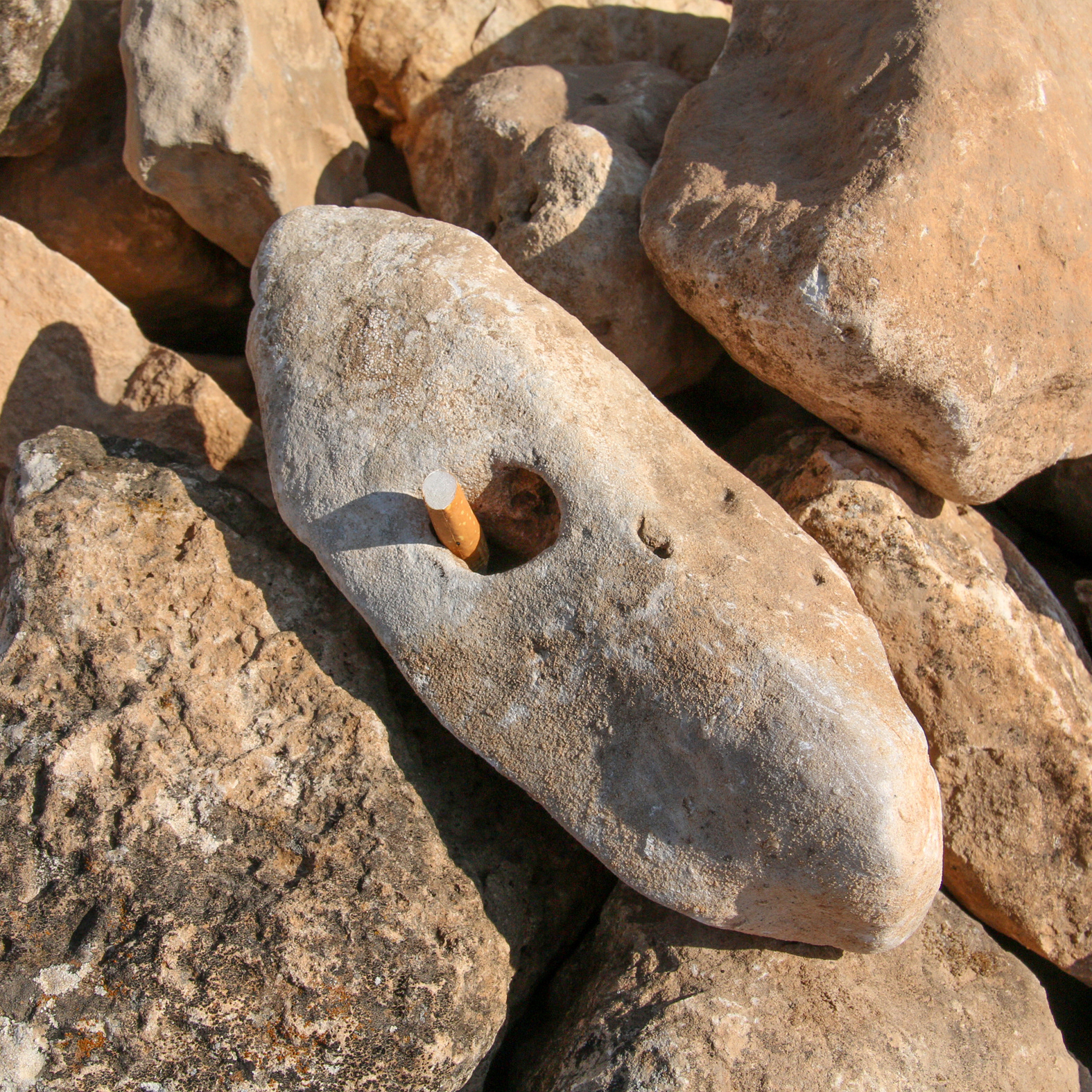


MAP IN STONE
set of 6 postcards
2020
The map examines the upper area of the Eastern Anatolian fault line that passes under Turkey at the stone level between 2019-2020.
It is the documentation of the stones shaped by geological movements and people through civilizations (Paleolithic Age, Neolithic Age, Chalcolithic Age, Early Bronze Age, Middle Bronze Age, Late Bronze-Early Iron Age, Urartu Kingdom, Achaemenid Empire, Parthian Empire, Tigran Sovereignty, Roman Empire, Sassanid Empire, Eastern Roman (Byzantine) Empire, Umayyads, Abbasids, Vassal Vaspurakan Kingdom, Ermenshahs, Ayyubids, Ilkhanids, Celayirids, Karakoyunlus, Akkoyunlus, Safavids, Ottoman Empire, Republic of Turkey).